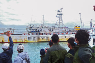
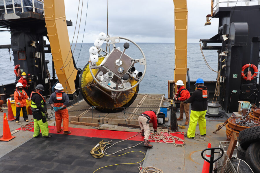
By Kenneth Hewitt, China Dialogue
Part II of a three-part series
As we saw in part one, climate change is obviously having different consequences in different mountain areas of Asia. The situation in the Karakoram must represent some distinctive conditions.
Three features of the regional environment seem critical. The first two relate to snowfall and the nourishment of these glaciers. They are intermediate in type between the summer accumulation (snowfall) glaciers of the greater Himalayas, and the winter accumulation glaciers of, say, the Caucasus and European Alps to the west. In each of the latter, more or less strong glacier retreat is reported.
Second, the zone of maximum precipitation in the Karakoram is much higher than in these and most other mountain ranges. It is also entirely within the accumulation zones of the glaciers. This relates to the third factor, the exceptional elevations and, especially, elevation range of these ice masses.
The glaciers of large and intermediate size originate at very high altitudes, and many of them descend much lower than elsewhere in the sub-tropics.
Five glaciers span more than 5,000 meters in elevation, 15 over 4,500 meters and more than 30 over 3,000 meters. In the Hunza valleys of the central Karakoram, glacier termini advance below 2,300 meters above sea level. Those on the north flank in the Yarkand drainage do not descend so low because the valleys are at greater elevations, but they include several descending more than 4, 000 meters, due to location in the very highest parts of the range around K2 (8,610 meters).
All of the glaciers recently observed to be growing are in these high-relief basins. Of special interest, but poorly understood, is how elevation and topography interact with the regional climatic influences to determine the behavior of the glaciers.
The regional climate of this south-western part of the Inner Asian mountains comes under the influence of three different, seasonally varying, weather systems.

First, the winter half of the year is dominated by a westerly or “sub-Mediterranean” circulation. Second, in summer, moisture comes from the Indian Ocean to the south and the climate becomes “sub-monsoonal”. Third, inner Asian high-pressure systems, especially involving the Tibetan Plateau, interact with the other two systems to affect storm paths and the incidence of clear weather. The last is critical, since direct solar radiation is responsible for 80% to 90% of melting on the glaciers.
Global climate change is expected to alter the absolute and relative roles of all three systems, a likely factor in recent developments that complicates forecasting of future glacier changes.
Meanwhile, investigations on the glaciers at higher elevations have revealed how different conditions are from the valley weather stations — mostly below 3,000 meters above sea level — whose records had dominated climatic interpretations.
Station records from the inhabited areas of the Karakoram show two-thirds or more of precipitation occurs in winter, mainly February through May. The average annual precipitation in these valleys is 150 millimetres to 300 millimeters water equivalent — an arid or semi-arid environment with severe summer drought. However, a very different story emerged from our measurements on the glaciers in the 1980s. At elevations above 4,800 meters, we found that snowfall amounts are roughly the same in summer and winter, with roughly equal amounts coming from the west and the Indian Ocean. Summer drought was not observed on the glaciers especially in their accumulation zones above 4,500 meters above sea level.
Moreover, the zone of maximum precipitation turned out to be between 5,000 meters and 6,000 meters above sea level — much higher than in, say, the eastern Himalaya or any other reports from tropical mountains. Moreover, accumulation zone snowfall is equivalent to between 1,000 millimeters and 2,000 millimeters of water; far more moisture than the valley stations suggest.
What is identified here is a powerful gradient in climatic conditions with elevation — a five- to 10-fold increase in precipitation from glacier termini around 2,500 meters above sea level, to where the snow falls that nourishes the glaciers. A recent, pioneering study based on satellite imagery, conducted by Bibi S Naz and colleagues at Purdue University, suggests snowfall amounts and the extent of perennial snow cover have increased in the past couple of decades at high elevations in the Central Karakoram.
Vertical gradients also define key conditions for the melting of the glaciers, and their contribution to water supply. In fact, although many ice tongues descend much lower, the decisive conditions for melting occur between 3,800 meters and 4,800 meters above sea level. Here lie more than 80% of the ice surfaces where melting occurs in summer.
Ablation conditions — under which ice melts — also identify complexities that arise with timing and seasonal rhythms as well as elevation. Nearly all the melting and water production of the glaciers occurs in just a few weeks of summer, when temperatures rise above zero and strong sunlight occurs. In turn, this explains why 70% to 80% of the flow of the upper Indus and Yarkand rivers occurs in six to 10 weeks of summer — usually in July and August — lagged until winter snow sitting on the ablation zone has melted away to expose the ice.

Moreover, melting is very sensitive to summer cloud cover or storms. A sudden summer storm can shut down melting for days at a time. Just when and for how long rapid and extensive melting occurs varies greatly from week to week, and year to year. It is one of the most sensitive variables affected by climate change.
Another huge and poorly understood fact is that most Karakoram glaciers are largely or wholly avalanche-fed.
The accumulation zone areas of these glaciers, above about 4,600 meters above sea level, are generally 70% to 80% steep rock walls. The larger part of high altitude snowfall in the region is on to these unstable slopes, and is avalanched more than 1,000 meters before incorporation into a glacier. It seems likely that changes in snowfall amounts, with season or in storm intensities, will alter the timing, temperature relations, and extent of avalanching. This can, in turn, affect glacier behavior. The trouble is, there are no data or research to help predict what climate change does to this all-important part of the nourishment of the glaciers.
What can be said is that what happens between 3,800 meters and 7,000 meters above sea level is absolutely critical to the role of climate and climate change in glacier behavior and survival.
These are also the elevations where the reasons for the seemingly anomalous recent responses of Karakoram glaciers must be sought. However, it is here that the least research has been done. There are no permanent measuring stations or long-term monitoring. To recognize how unfortunate that is, we need to address changes that are, or may become, unusually threatening to human communities and activities.
(Originally published at China Dialogue)
See also:
Glacier Responses to Climate Change are Complex, as are the Impacts
Bolivia’s Chacaltaya Glacier Melts to Nothing 6 Years Early
Colombia’s Glaciers on Pace to Disappear Within 25 Years
Conflicts Break Out in the Andes as Glaciers, and Their Water, Disappear
Video: Everest’s Melting Glaciers
(Photos: Kenneth Hewitt)
Kenneth Hewitt is professor emeritus in geography and environmental studies and research associate at the Cold Regions Research Centre at Wilfrid Laurier University in Ontario, Canada.
About This Story
Perhaps you noticed: This story, like all the news we publish, is free to read. That’s because Inside Climate News is a 501c3 nonprofit organization. We do not charge a subscription fee, lock our news behind a paywall, or clutter our website with ads. We make our news on climate and the environment freely available to you and anyone who wants it.
That’s not all. We also share our news for free with scores of other media organizations around the country. Many of them can’t afford to do environmental journalism of their own. We’ve built bureaus from coast to coast to report local stories, collaborate with local newsrooms and co-publish articles so that this vital work is shared as widely as possible.
Two of us launched ICN in 2007. Six years later we earned a Pulitzer Prize for National Reporting, and now we run the oldest and largest dedicated climate newsroom in the nation. We tell the story in all its complexity. We hold polluters accountable. We expose environmental injustice. We debunk misinformation. We scrutinize solutions and inspire action.
Donations from readers like you fund every aspect of what we do. If you don’t already, will you support our ongoing work, our reporting on the biggest crisis facing our planet, and help us reach even more readers in more places?
Please take a moment to make a tax-deductible donation. Every one of them makes a difference.
Thank you,