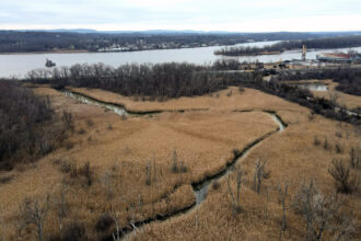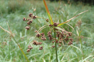
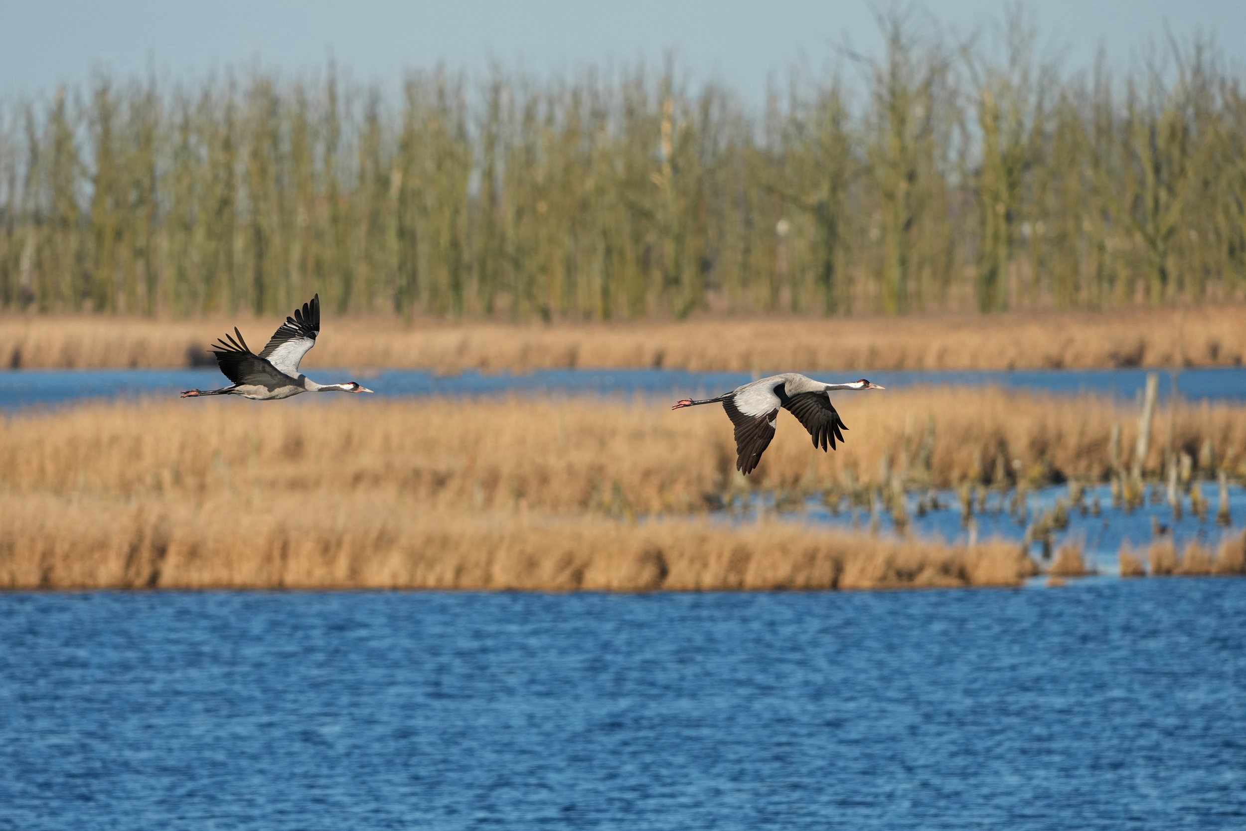


Europe’s wetlands are scattered throughout the continent, hiding in valleys and along coastlines or dried and buried under crop fields.
Europe was once full of peatlands and marshes, areas that set the foundation for life and slow the effects of climate change. But people drained 80 percent of them in the last century for agriculture and rapid industrialization. The European Union decided in 2024 that it would require its member states to do something about it.
After the EU’s Nature Restoration Law mandated restoring at least 30 percent of Europe’s wetlands by 2030, member nations began to draft plans to prioritize restoration, but often had difficulty knowing where to start.
That’s where Gyula Máté Kovács, a postdoctoral researcher at the Global Wetland Center at the University of Copenhagen, and his team stepped in. Using machine learning and satellite imagery down to individual 10-meter plots, the new study, published last month in Nature, created the first high-resolution map of natural and manmade European wetlands for policymakers to use when deciding on areas to restore under the EU’s plan.
Alongside satellite imagery, the researchers used land cover data from Korea and regional field studies to train their machine learning model to distinguish the different types of wetlands and their disturbance level.
One of the accomplishments of the study, Kovács said, was in utilizing new satellite tools like the EU’s Copernicus satellites and various datasets from other counties to capture new data on small, isolated wetlands and create a comprehensive mapping tool. This allowed them to distinguish six types of wetlands and categorize them as either inland marshes, peat bogs, moors and heathland, salt marshes, salines or intertidal wetlands.
“If you want to spend public money on large scales and on these very costly projects, then of course you need information that you can use to rely on. Otherwise, it’s just very haphazard,” Kovács said.
The differences in wetlands allow the researchers to demonstrate which areas are more productive as carbon stores, capturing what would otherwise warm the planet. The results pointed to peatlands as the most critical type of wetland to restore because they are highly effective carbon sinks and also the most vulnerable to significant carbon losses.
Coupled with where the wetlands were located and what type they were, Kovács and his collaborators also measured the level of disturbance of each area. The wetlands with the most disturbances were located about 150 meters or less from any sort of human land use, such as draining for agriculture, heavy machinery or urban development. However, Kovács acknowledged that noise and chemical pollution, which they did not track, can also impact the level of disturbance.
Nations like Lithuania, Germany and Ireland have a head start on active public consultations or advanced frameworks, but Kovács said some countries could use his study as a starting point. And while the new mapping could aid in decision making, it ultimately does not replace the need for field surveys, he said.
This story is funded by readers like you.
Our nonprofit newsroom provides award-winning climate coverage free of charge and advertising. We rely on donations from readers like you to keep going. Please donate now to support our work.
Donate NowOther researchers say the study’s results help solidify the suggestions they have started to make to policymakers in the past few years.
Caspar Verwer, a senior expert of nature conservation at the EU’s International Union for Conservation of Nature (IUCN) in the Netherlands who was not involved in the new report, said the isolation of these wetlands from one another and the inconsistency in restoration needs stood out to him the most from this study. This aligned with results from a report from the IUCN’s REWET project that reiterated the need for restoration efforts tailored to each plot of wetland.
“Different regions have different ecological conditions, policy contexts and restoration opportunities,” Verwer said.
Kovács’s study, Verwer said, could lend a closer look into regions like Northern Europe with larger areas of relatively intact wetlands, as opposed to Central and Eastern Europe, which record high levels of disturbance. The consistent, high-resolution assessment of wetland distribution and restoration needs filled a gap left by previous datasets that often missed smaller wetlands or lacked consistency across countries, he said.
The results from the study’s satellite imagery reaffirmed to him that prioritizing areas for wetland restoration shouldn’t only be based on ecological degradation but also on the potential to deliver multiple benefits, including climate mitigation, biodiversity recovery, water security and resilience to floods and droughts.
While Verwer said the results aid in viewing wetlands as nature-based solutions that simultaneously contribute to anything from carbon storage to disaster risk reduction, getting one step closer to meeting the EU Nature Restoration Law’s deadline is often a challenge, especially if ecological restoration remains low on the list of priorities for many EU countries.
“Success will depend less on whether we know what needs restoring, and more on whether governments can create the governance, funding and long-term commitment needed to deliver restoration at scale,” he said.
Kovács and his team submitted the paper two years ago. In that time, Kovács said, he started developing a global version of the map, using similar methods, to improve worldwide estimates of greenhouse gas emissions from wetlands. He hopes scientists can expand the restoration work the EU has started to other countries as wetlands continue to change.
About This Story
Perhaps you noticed: This story, like all the news we publish, is free to read. That’s because Inside Climate News is a 501c3 nonprofit organization. We do not charge a subscription fee, lock our news behind a paywall, or clutter our website with ads. We make our news on climate and the environment freely available to you and anyone who wants it.
That’s not all. We also share our news for free with scores of other media organizations around the country. Many of them can’t afford to do environmental journalism of their own. We’ve built bureaus from coast to coast to report local stories, collaborate with local newsrooms and co-publish articles so that this vital work is shared as widely as possible.
Two of us launched ICN in 2007. Six years later we earned a Pulitzer Prize for National Reporting, and now we run the oldest and largest dedicated climate newsroom in the nation. We tell the story in all its complexity. We hold polluters accountable. We expose environmental injustice. We debunk misinformation. We scrutinize solutions and inspire action.
Donations from readers like you fund every aspect of what we do. If you don’t already, will you support our ongoing work, our reporting on the biggest crisis facing our planet, and help us reach even more readers in more places?
Please take a moment to make a tax-deductible donation. Every one of them makes a difference.
Thank you,

Avril Silva
Fellow
Avril Silva is an award-winning journalist and an Outrider fellow at Inside Climate News. She has experience covering environmental and public health policy and is interested in pursuing investigative political journalism. She is currently pursuing a master’s at NYU’s Science, Health, and Environmental Reporting program. You can find more of her work on the New York Times, CBS News, POLITICO’s E&E News, and more.